Twinsite · 3D scanning
A building record for owners and facilities teams who need to understand the space before the next site visit, vendor handoff or change of manager.
Places come in many forms

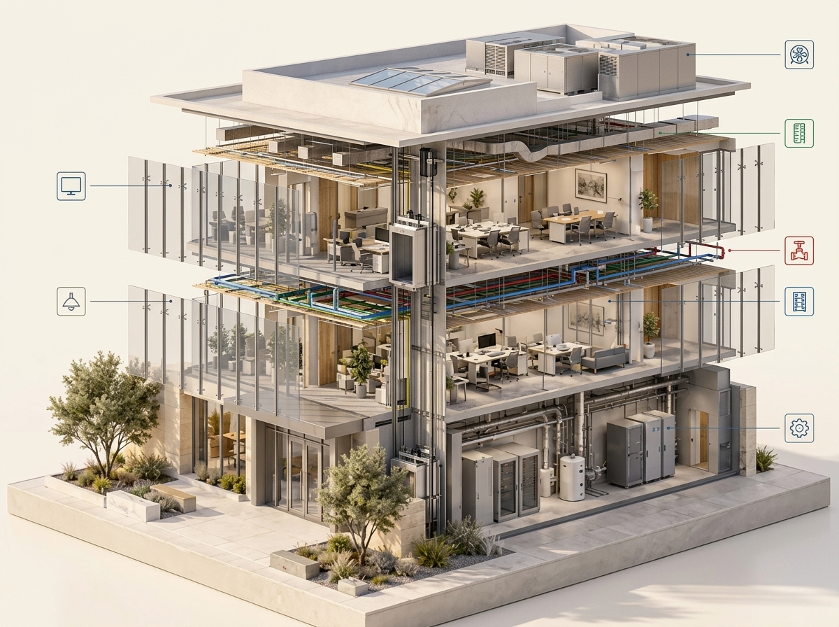
Commercial office cutaway showing floors and equipment zones.
AI-generated conceptual property imagery. These are examples of building types, not completed Avodas client projects or promised deliverables.
Discuss your property
The record, explained
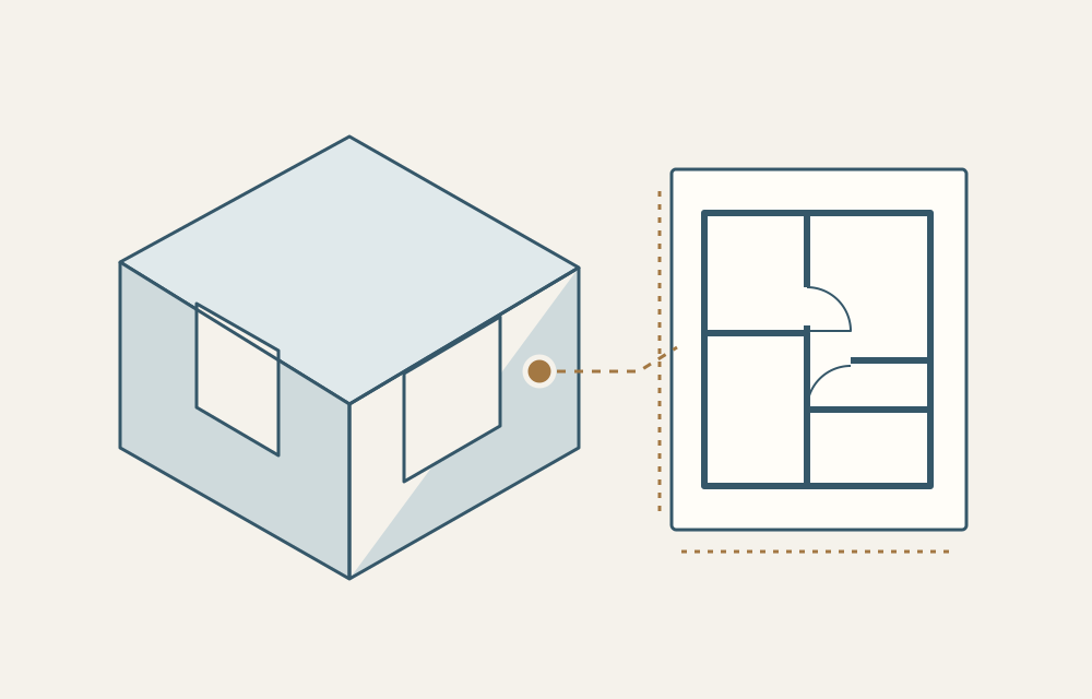
Capture, model and plan describe the same space. This diagram explains the relationship; it is not a measured client scan.
Illustrative diagram. Not a client property or a live product screen.
Capture and deliverables
Twinsite combines LiDAR capture with the available plans, photographs and records. The agreed scope determines what is captured and delivered.
Explore the captured space in a browser. Measurements come from the capture, with measured and inferred information distinguished.
Room-by-room plans from the scan help a remote team understand the layout and compare it with the drawings they already have.
Reference room areas, ceiling heights and opening widths from the capture when discussing the property with vendors.
Before we visit
Send the property location, approximate square footage, the areas you need documented and any existing plans. Tell us about access restrictions and preferred timing so we can agree the scope.
A remote owner, a facilities team and a contractor preparing a bid may need different levels of detail. We quote the work against the building and the deliverables you need.
This is property documentation, not a licensed inspection, engineering certification, appraisal or code-compliance opinion.
A request does not confirm a date or a price. A person reviews it and replies.
Next step
Where it is, roughly how big, and what decision is waiting on it. We will tell you what it would cost and what you would get.